Our Services
At Site Flights, we offer a wide variety of drone and data capture/analysis services for our client companies. We are not a 'one size fits all' service provider. Every client receives custom engineered solutions to their most pressing issues. Our defining metric is improving our clients' profitability and ROI. We succeed by helping YOU succeed. To find out how we can help, view our service offerings below, or just give us a call or email to discuss how Site Flights can immediately start saving your business time and money.
Construction Progress Monitoring with Photo and Videos
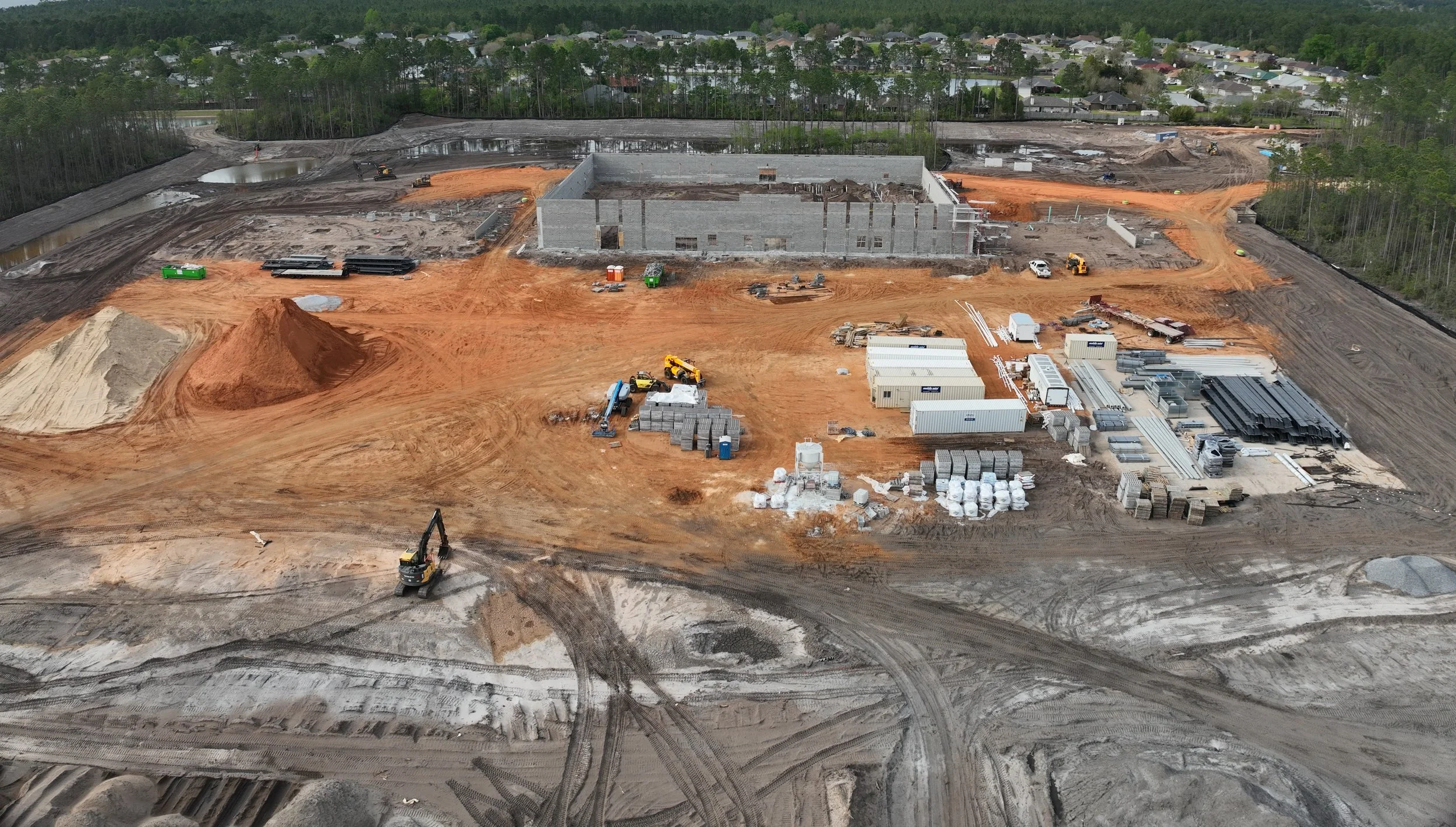
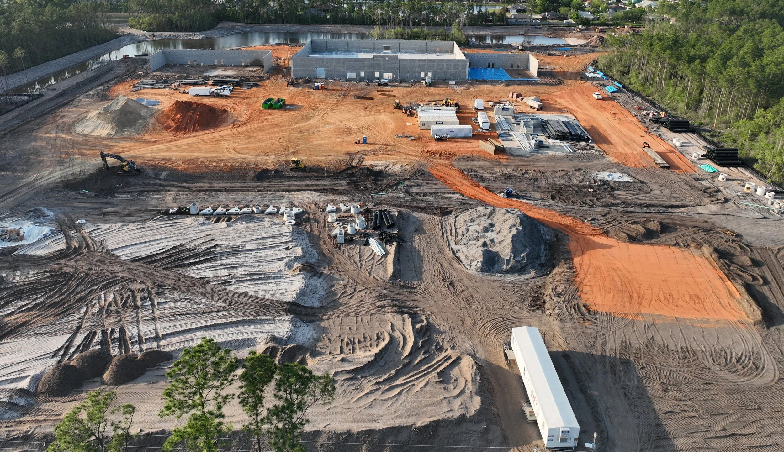
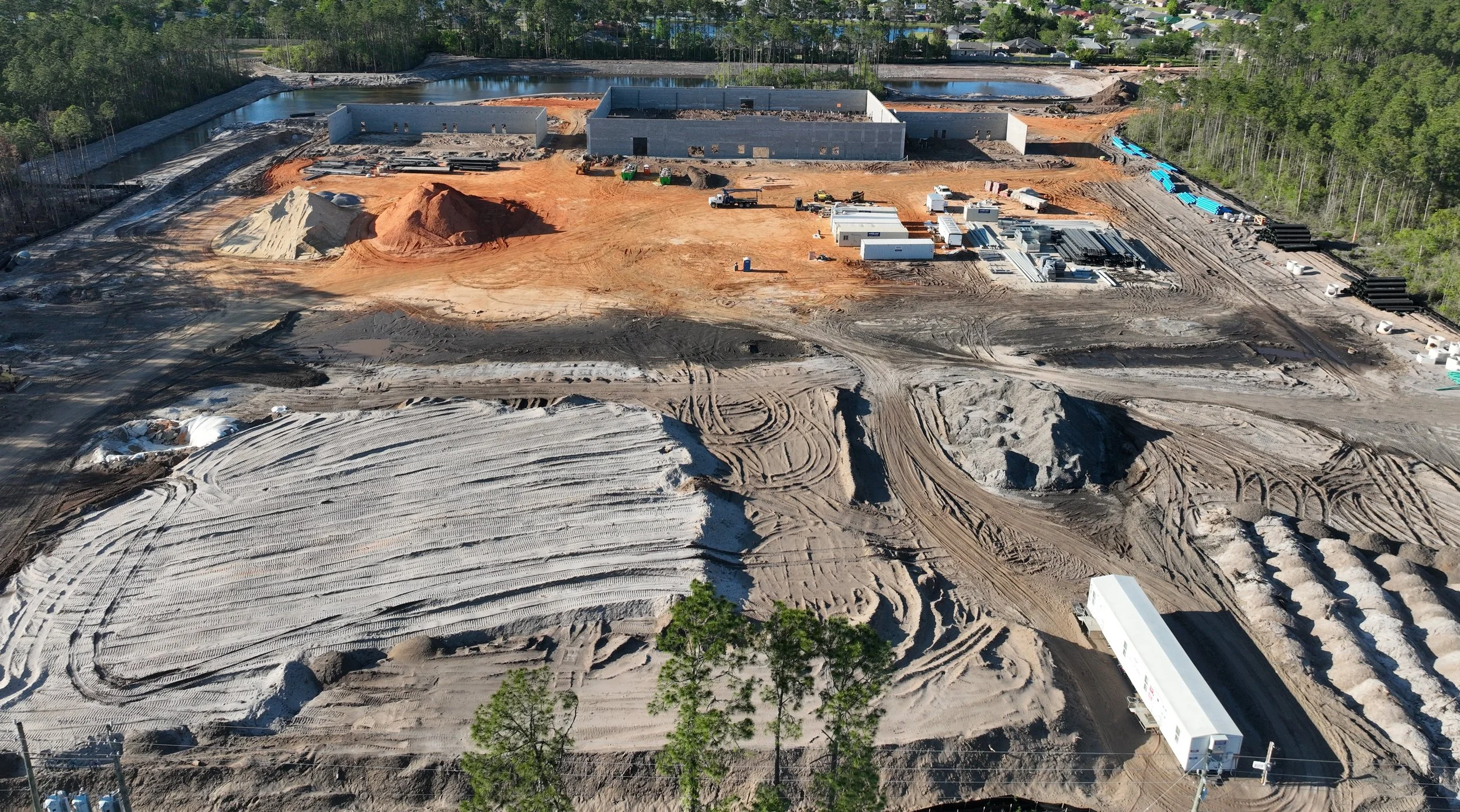
Wouldn't you like to document all the hard work and progress you make on the jobsite? How great would it be to then share those photos and videos with your teammates and clients anytime, from anywhere? Monitoring construction progress with photos and videos is one of the most common and most useful applications of drone data capture on a construction site. These media show every phase of construction, from site planning to closeout/handover, so you can see the entire process as it advances. Clients love the transparency that progress monitoring provides because they can see where their money is going and that the work is getting done. This not only keeps all relevant parties updated, but also gives your company and your clients a complete visual, historical record of every job you complete. We can perform these ‘siteflights’ at any frequency, but the most commonly requested by our top clients are weekly, bi-weekly, and monthly flights. If you aren’t sure what you need, we can help you determine the best plan of action for your project. The photos and videos can then even be used for marketing and social media purposes to help you land new clients. Stand out from your competition by utilizing this valuable and highly desirable service!
High Resolution Orthomosaic Maps
An orthomosaic map is a powerful tool made by merging hundreds or even thousands of high resolution photos into one image that allows you to easily travel (virtually) anywhere on the jobsite. You can then zoom in and out, rotate, revolve, etc. Think of it like Google Earth - only it’s just for your construction site, with much better image quality and many more features! With a simple mouse click, you can drop markers to identify specific objects on the jobsite; notations can then be attached to these markers to identify issues, indicate severity level, estimate repair cost, count quantity, and more. Orthomosaics can also be used to take measurements anywhere on the entire construction site while sitting safely at a computer. Point to point distances can be calculated as well as volumetric measurements for stockpile management and cut/fill surveys. Calculating these quantities with drone imagery not only saves significant time and money, but we no longer have to send valuable manpower to the field to gather the data. Also, as there is no required accounting for human error, accuracy is greatly improved! Enhanced site safety is another benefit because anytime workers are on a jobsite, accidents and injuries can happen; with drones capturing the data, there are no workers in harm’s way at any time. The insurance benefit is two-fold: reduced worker’s compensation costs and more importantly, fewer jobsite accidents. Drones and orthomosaic maps can help improve your construction projects in so many ways!
-

Contour and Topographic Maps
We produce a variety of useful maps to show property boundaries and physical features for our clients. While contour maps mainly represent only elevation changes on a given site, topographic maps show a more comprehensive overview of a given site. Topography includes natural elements as well as man made features to give the most accurate depiction of the landscape’s physical characteristics.
-
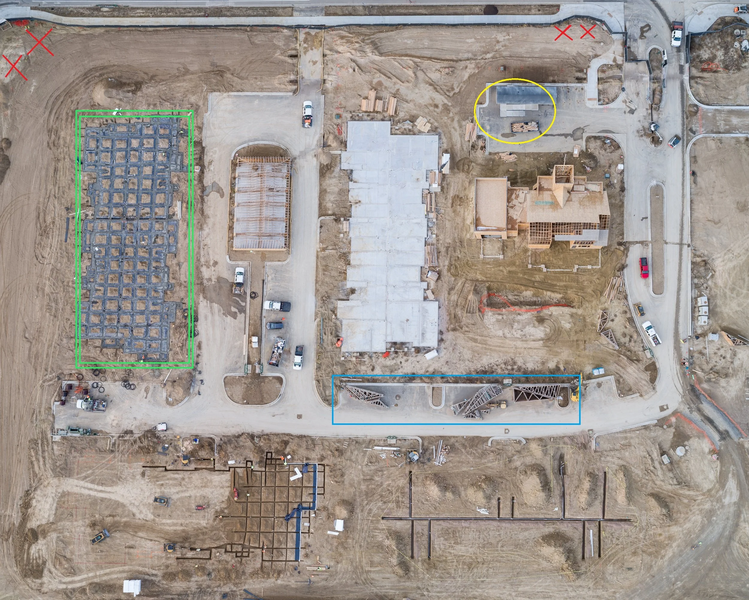
Printed Site Maps
Imagine having a new printed map of your entire construction site hanging on the wall of your office or jobsite trailer every week/month! Everyone can quickly and easily see the progress being made by each trade. Something as simple as a printed map can help create a more cohesive work environment to save time and money! Materials and equipment storage can be clearly marked to eliminate confusion and miscommunication. Decision making is much more efficient when you can just point to a map on your wall. Even safety is improved by indicating current hazards and danger areas. Get your team on the same page with our Printed Site Maps!
-
Roof Inspections
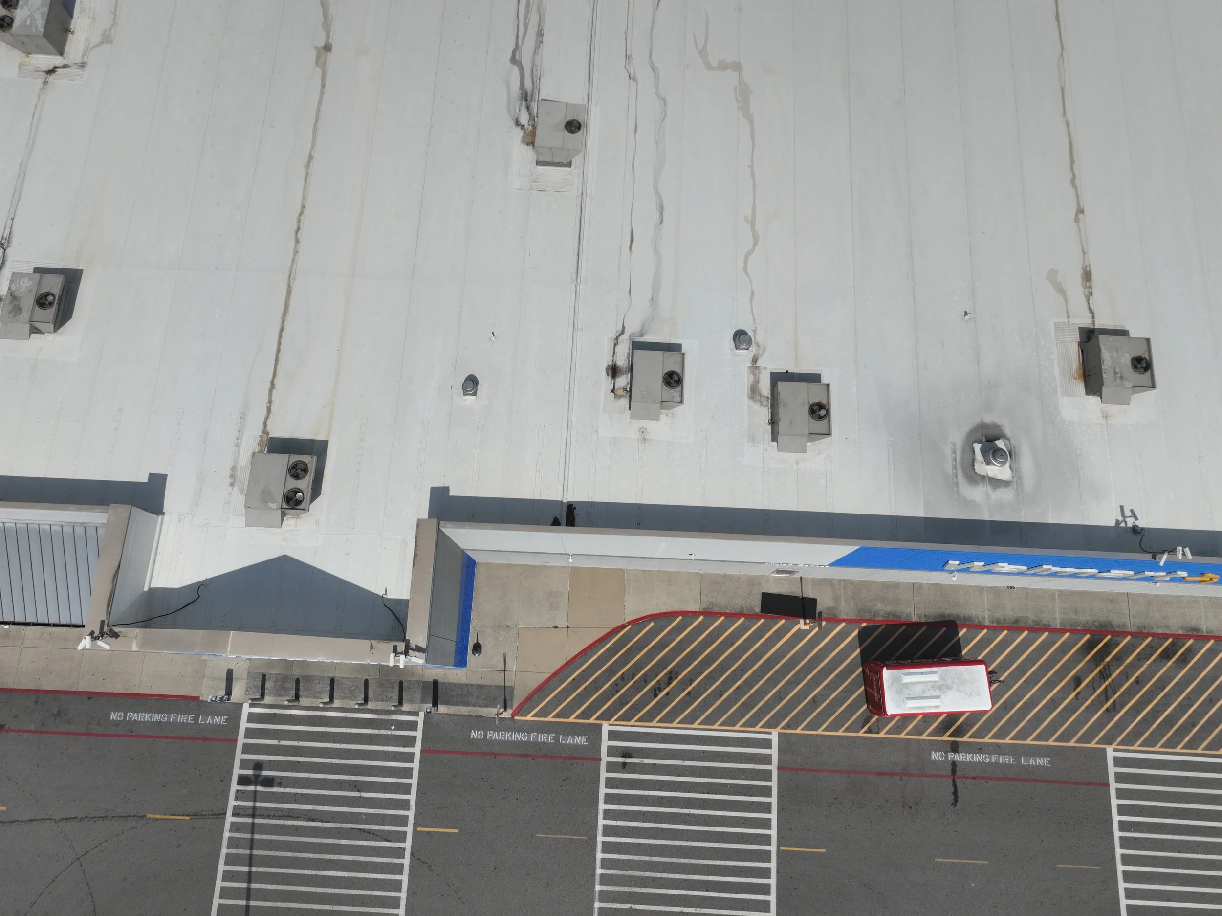
Roof inspections are by far one of the most beneficial services that can be performed with a drone. No more climbing ladders, safety harnesses, or walking every inch of a roof to check its condition. High resolution photos are taken by a drone while the operator is safely on the ground, and then stitched together to provide an identical representation (digital twin) of the roof. Then a thorough inspection can be completed while safely sitting at a computer, instead of out on a slippery roof in varying weather conditions. This translates to a huge increase in efficiency for your company by providing a much greater return on investment and higher profit margin for each job, with cost savings in time, labor, equipment, and insurance!
-
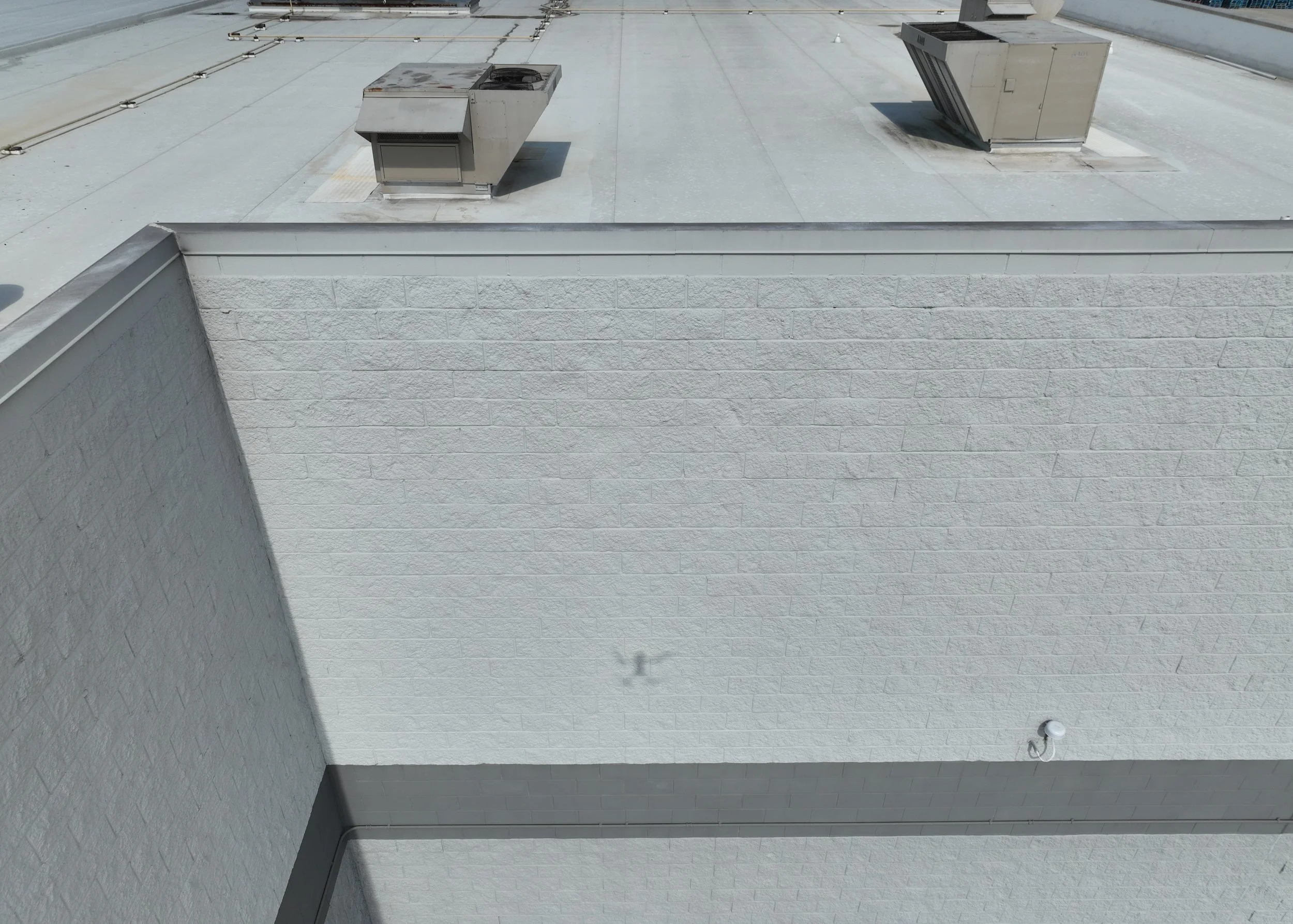
Facade Inspections
Facade inspections can be even more dangerous and costly than roof inspections. No more scaffolding or swing stages to set up, and more importantly, no workers dangerously suspended high in the air to inspect a building’s facade. These inspections are most commonly used to determine repairs to existing structures, however they also have many uses in new construction; these include being used to verify completed work, check for flaws, document the handover/closeout process with clients, and many more. This manifests not only in a much safer worksite, but also a substantial savings in terms of time, labor, and equipment cost.
-

3D Model/Digital Twin
3D models combine hundreds or thousands of photographs taken by a drone to produce an identical representation of a real world, physical object. These images are processed by software and integrated into a digital model that can be viewed from any perspective. With a single model, you can rotate around a building, go on top of the roof, zoom in (or out) to any point, and so much more. It’s not hard to see why a 3D model is so much more powerful and useful for a construction company than a simple static photo!
-

360° Interiors
We also do building interiors! We don't just use drones for our reality capture, we also have high quality 3D scanners that can capture and digitally replicate basically any physical feature. From capturing beautiful, high resolution photos to full 360° 3D models, we have what you’re looking for to impress clients and show the amazing work you do. Easily keep track of progress, take measurements, compare as-built to plans, and more. We can even do drone fly-through videos to showcase every interior detail, floor to ceiling.
-
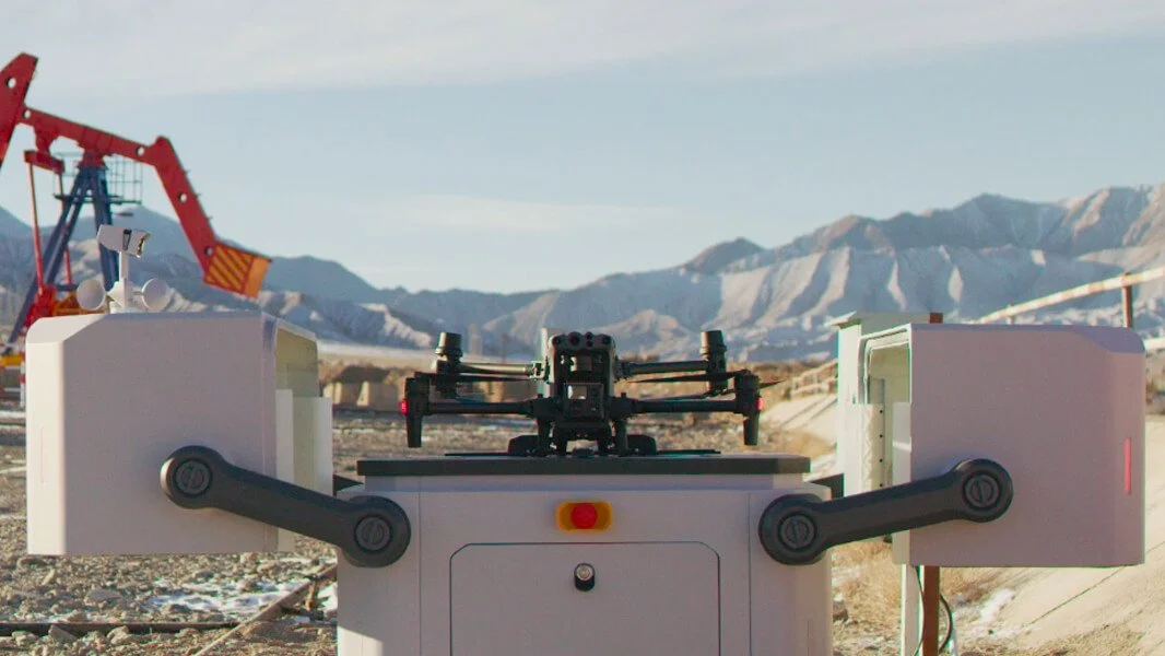
Drone-in-a-Box Solutions
A drone-in-a-box is a drone that is installed inside a docking station and secured to a fixed platform on your jobsite. The drone can then be flown remotely ANYTIME, as often as you like, to capture the current progress at your site in real time! This eliminates having to pay travel and labor for a pilot/engineer to spend several hours setting up and flying missions at your site every time you need data. It can all be done from the comfort of the office, no matter how far away. This can easily save you tens of thousands of dollars or more over the life of your project!
Anyone, from employees to owners to clients, can monitor the safety, progress, and security of your worksite from anywhere at anytime. We will set up the drone docking station for you, program the flight paths, and fly and monitor the drone and data capture remotely; all you have to do is concentrate on your core business, we do all the rest for you!
-

Consulting Services
Are you considering starting your own drone/reality capture program at your company? Let us help! We offer consultation on the entire implementation process. From establishing reality capture goals to selecting drones to programming and training, we give you the technological advantage you need to stay ahead of your competition!
